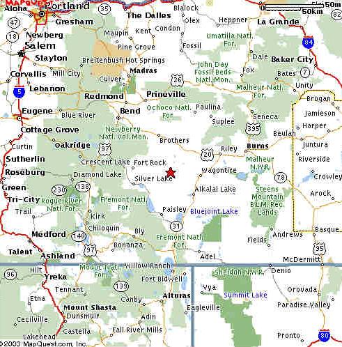
 This regular state map has a red star at the location of the Christmas Valley Radar site. But if you want to get a feel for the kind of terrain one finds in this part of the state, go into Google Maps, enter Latitude 41.735523° and longitude -121.165586° and pick Satellite view. You will see that the Christmas Valley area has some irrigated farms, but in any direction but West, the land is quite desolate. Beautiful too, but not many buildings or roads or people.
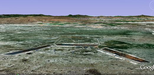
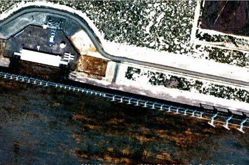
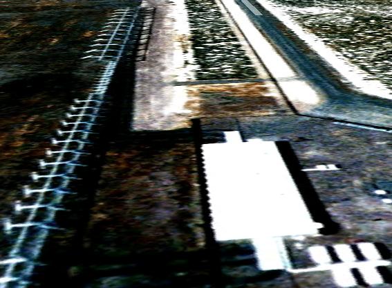
 I have been able to get more perspectives of the radar site using Google maps and Google Earth.
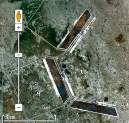 In this satellite view of the installation, you can see a metric in the bottom right corner,
showing that each of the three sections of this antenna array is over a mile wide.
In this satellite view of the installation, you can see a metric in the bottom right corner,
showing that each of the three sections of this antenna array is over a mile wide.

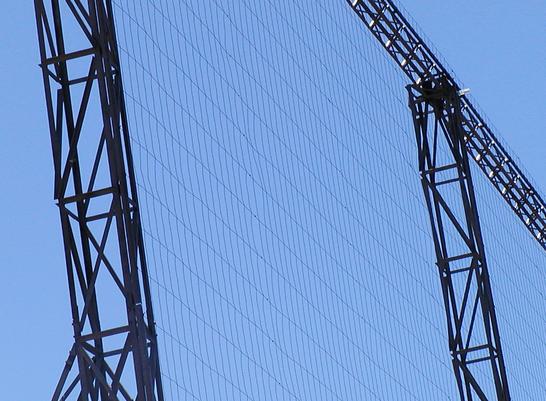
 Another page with more technical details about this project is available here.
|
Comments on anything at this website? Please go to the COMMENTS page using the link further down this page. After submitting your comment there, find and click on the link on that page which enables you to return to the main page. |